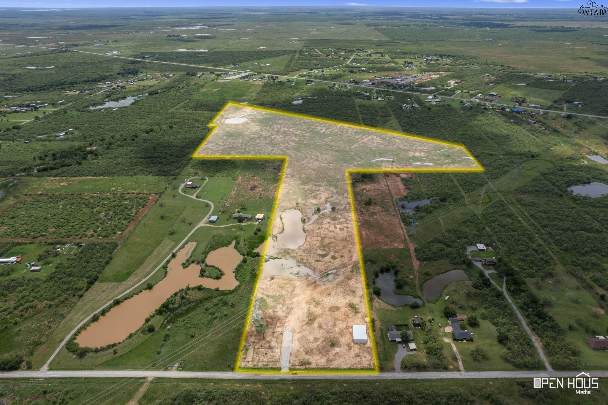
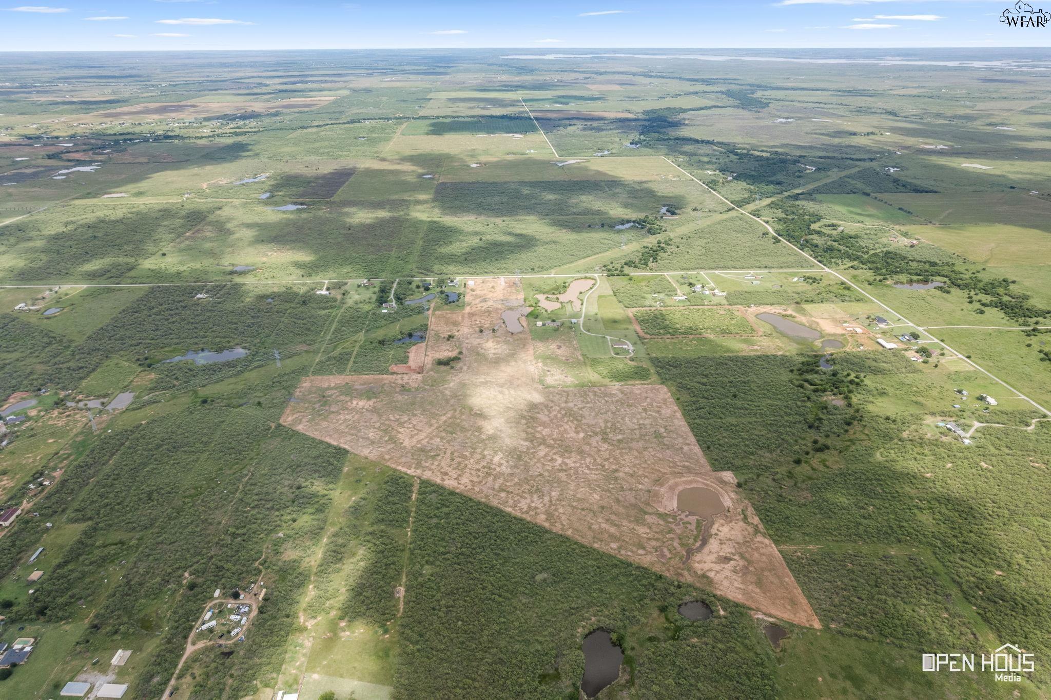
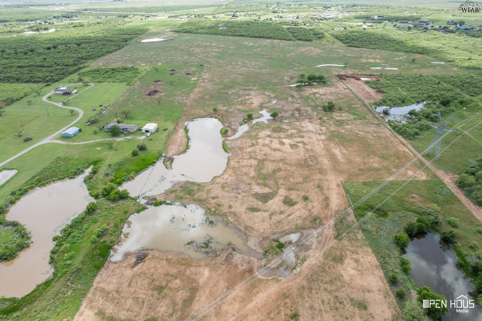
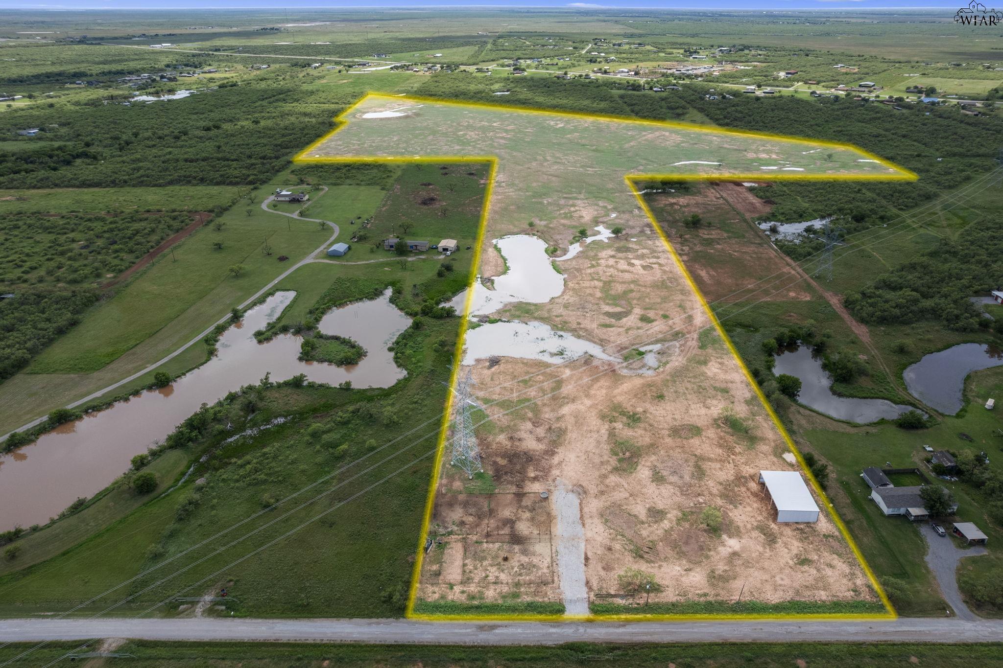
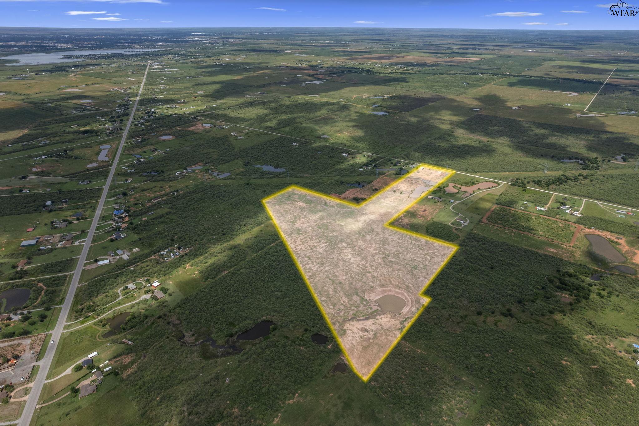
Aerial view of a cleared rural parcel outlined in yellow, with ponds and road frontage.
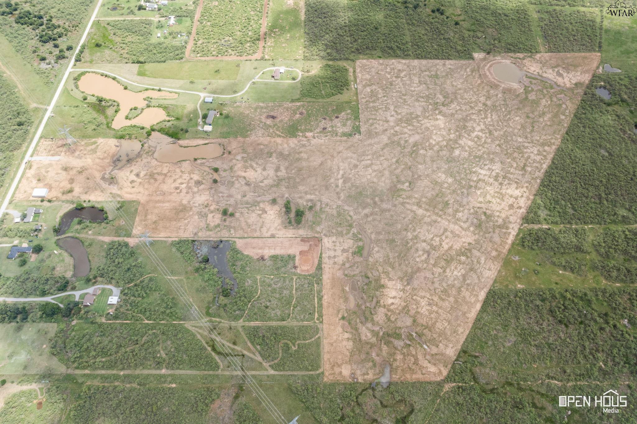
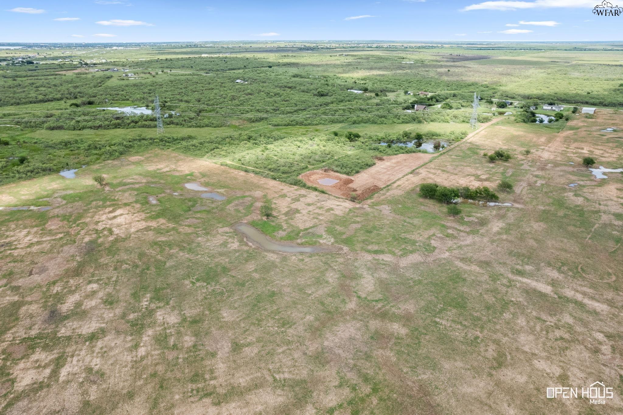
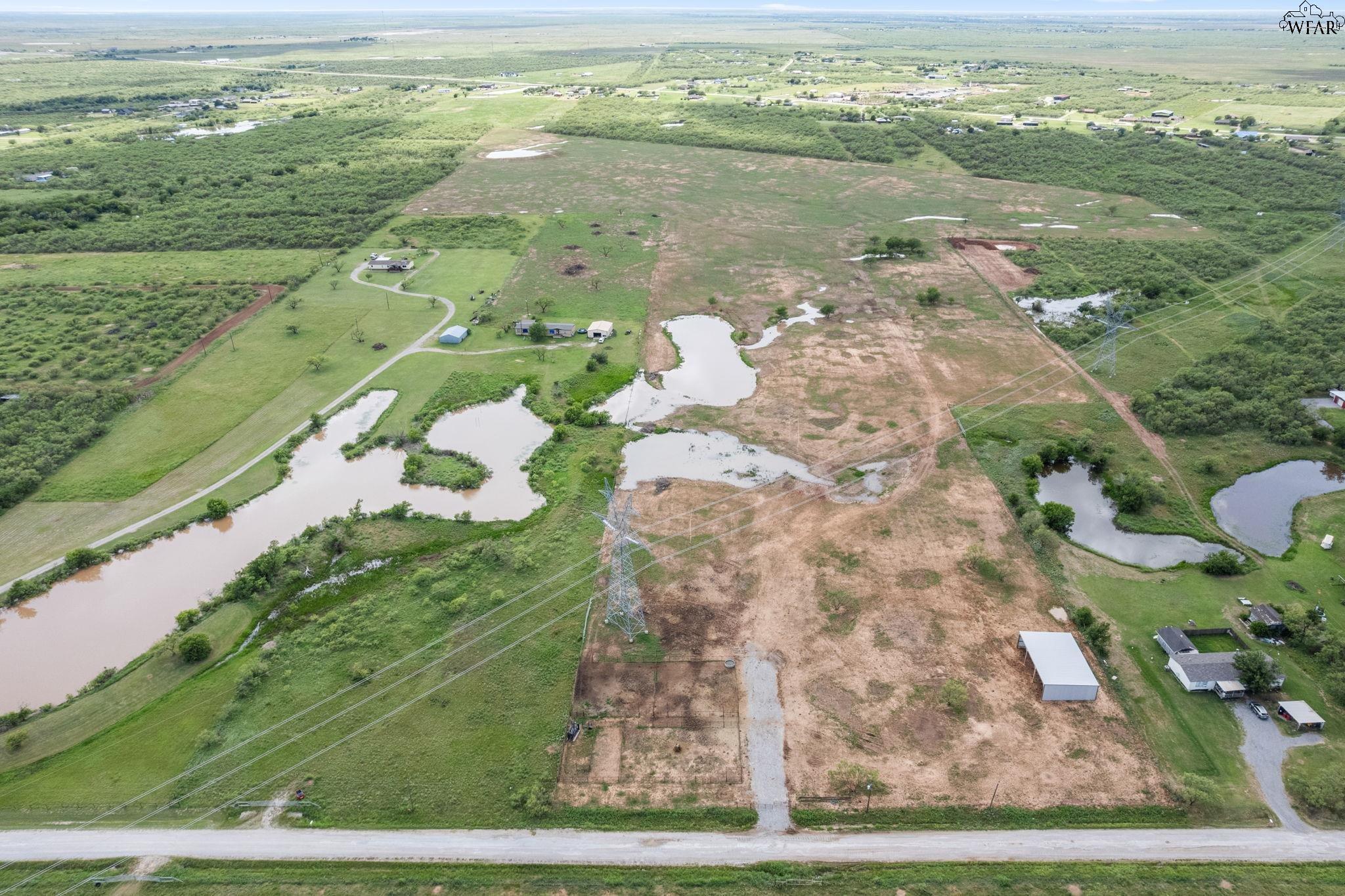
Aerial view of cleared rural acreage with ponds, wooded borders, and nearby homes.
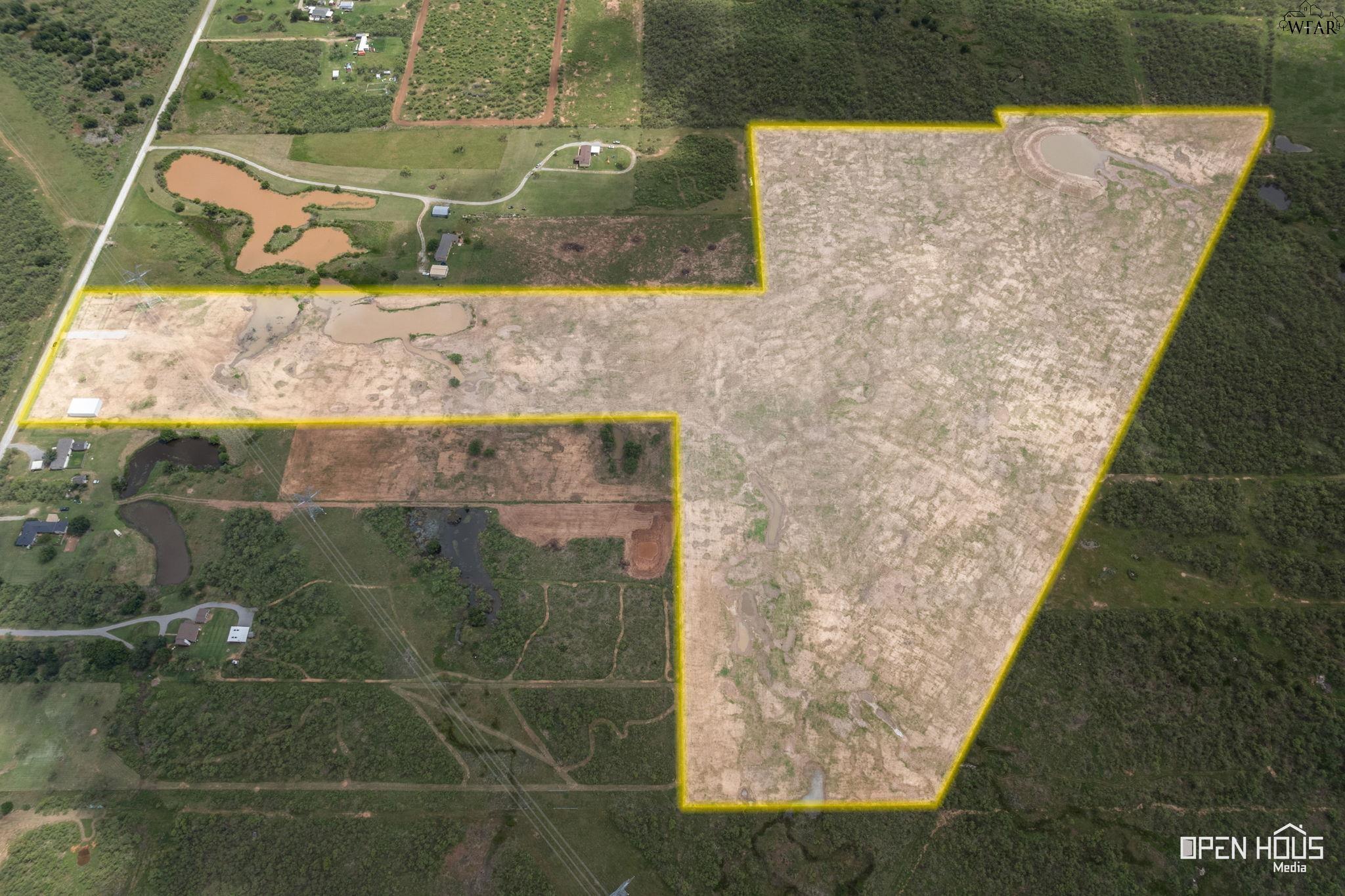
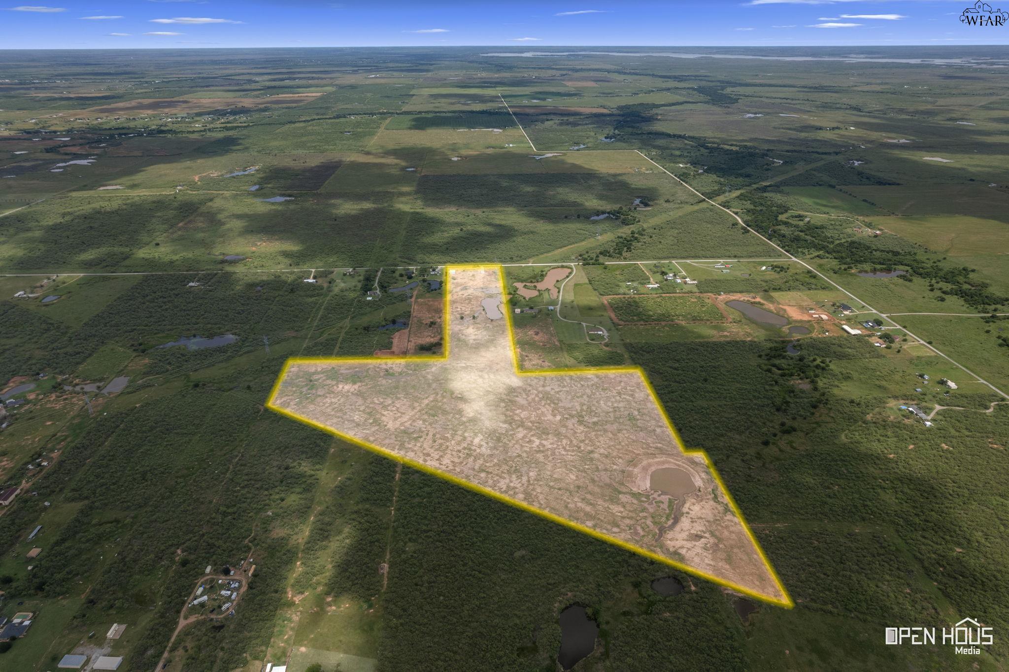
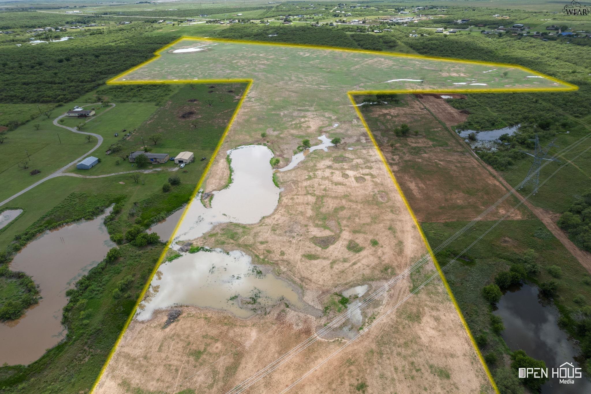
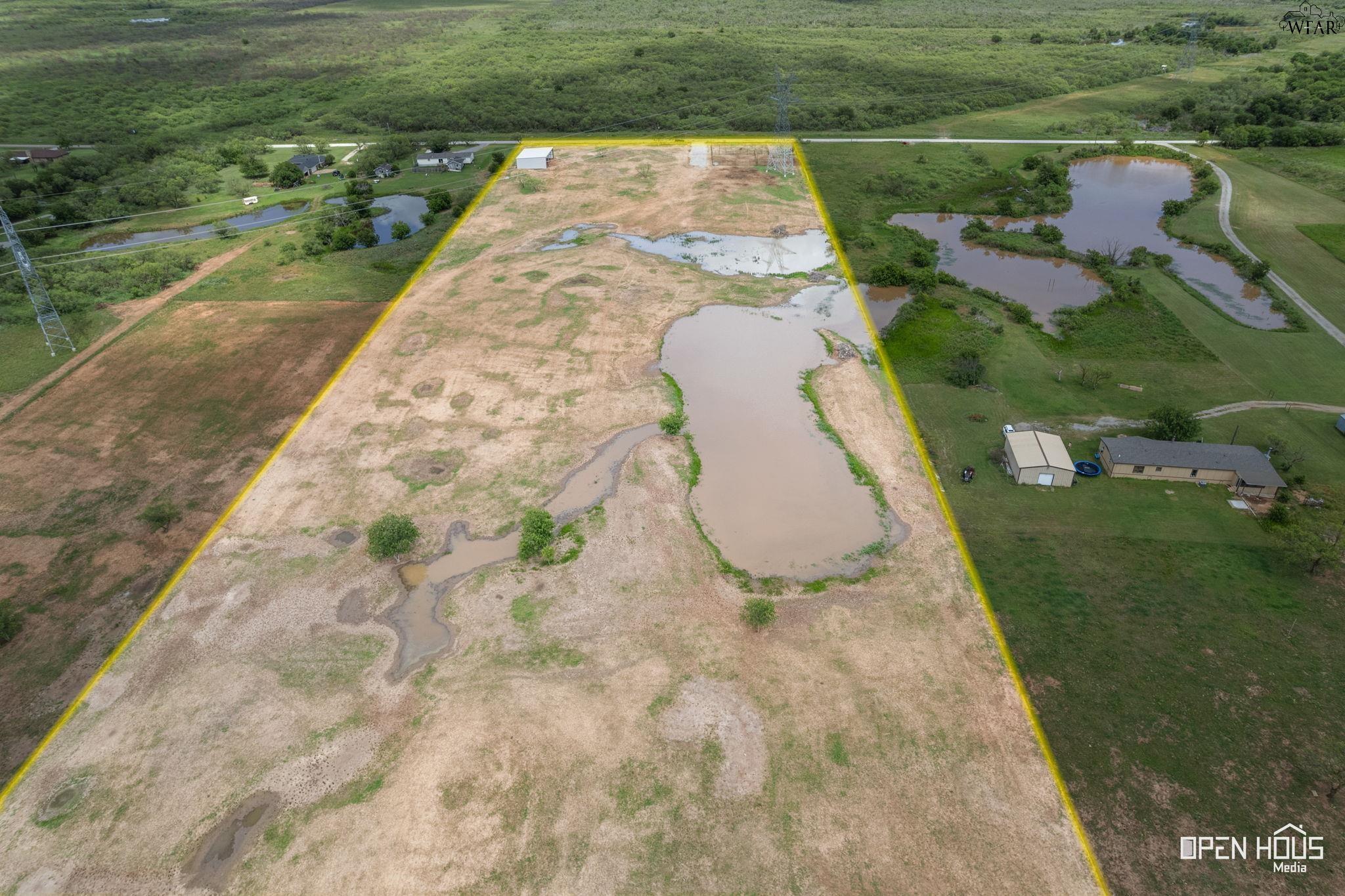
Aerial view of a large cleared parcel outlined in yellow, with muddy ponds and wooded surroundings.
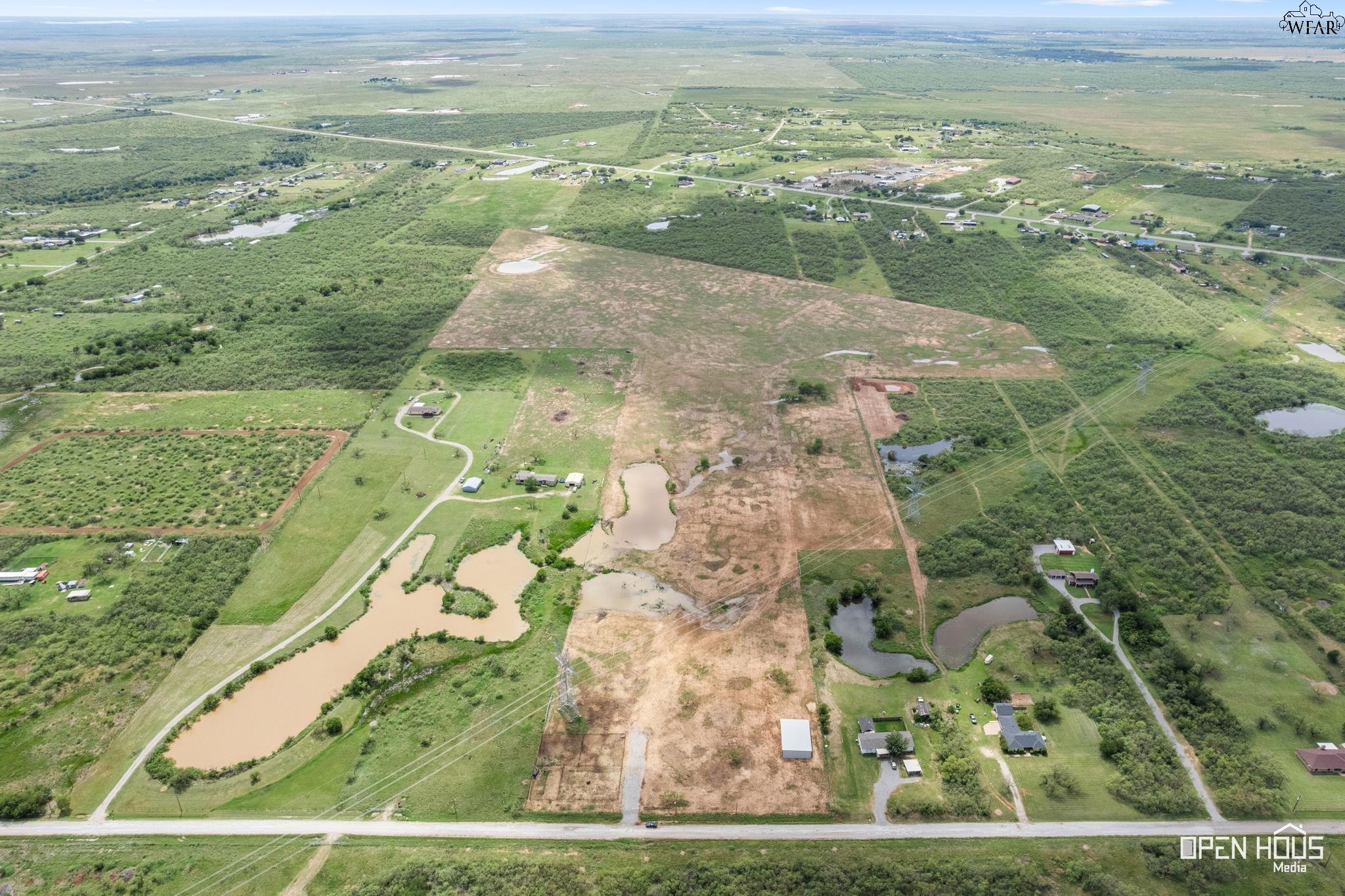
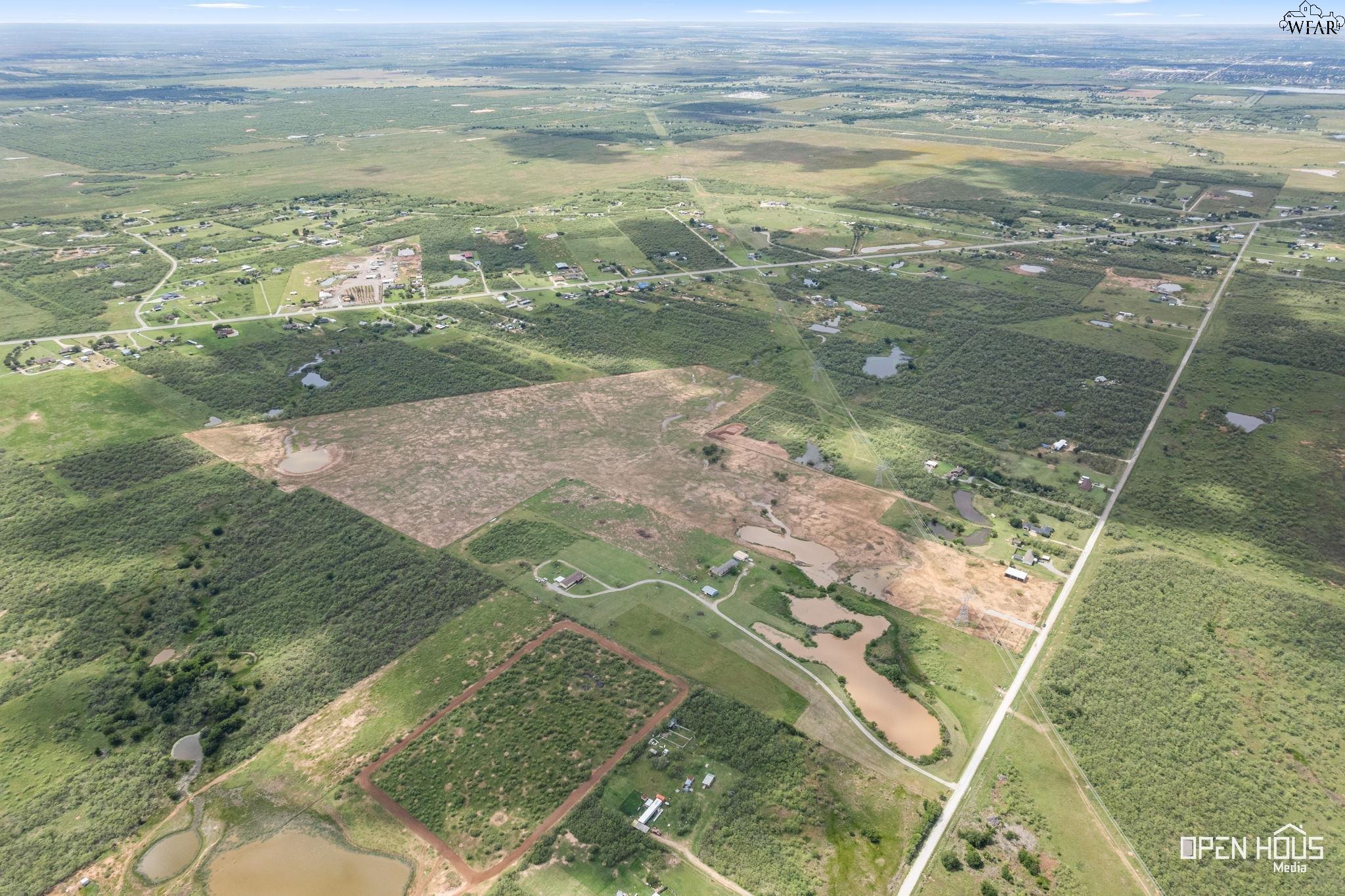
Aerial view of a large rural tract with cleared ground, ponds, and scattered homes.
Aerial view of a large cleared rural tract with ponds, fields, and wooded areas.
Vacant rural parcel outlined in yellow, with ponds and fields visible from above.
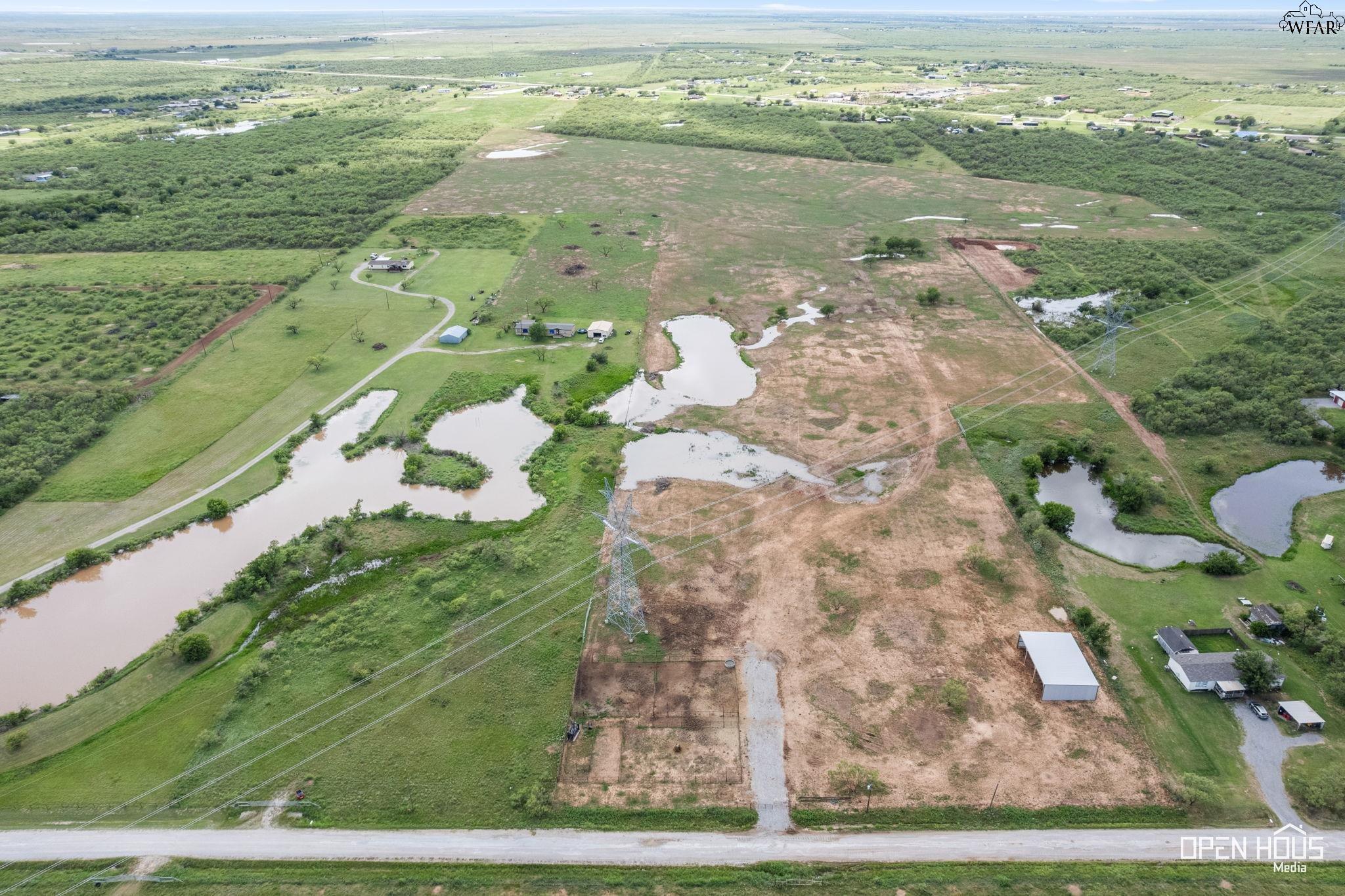
Aerial view of rural acreage with several ponds, scattered buildings, and overhead power lines.
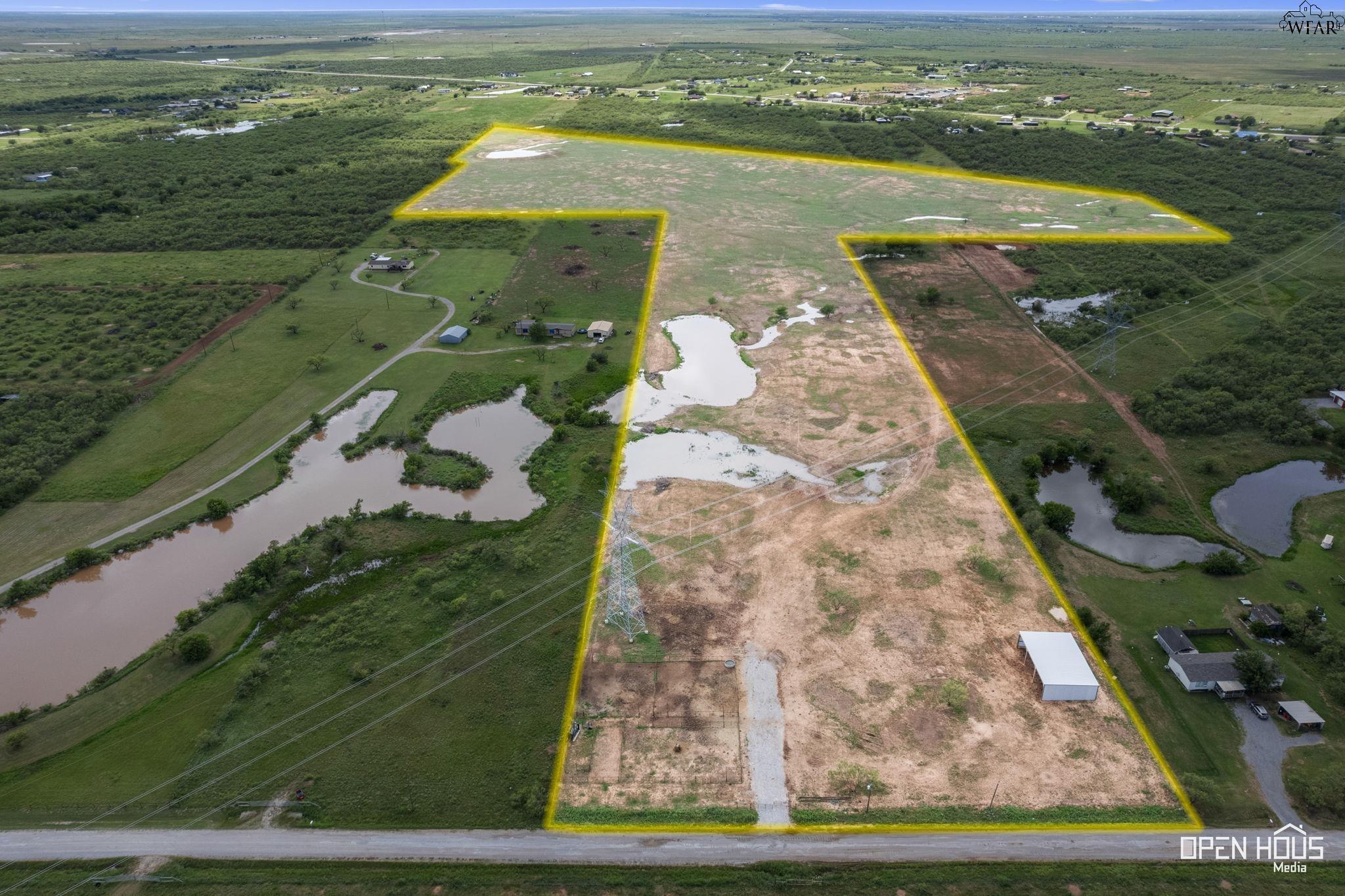
Aerial view of rural land outlined in yellow, with ponds, a gravel drive, and power lines.
Aerial view of cleared rural acreage with several ponds, scattered trees, and buildings along the left side.
Aerial view of yellow-outlined rural land with several ponds and power lines.
Aerial view of a cleared rural tract surrounded by green brushland, scattered homes, and ponds.
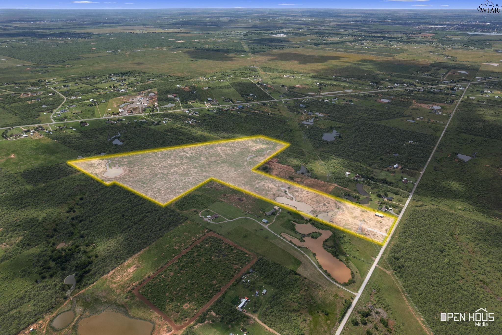
Aerial view of a large cleared rural parcel outlined in yellow, with ponds and wooded land nearby.
Aerial view of vacant rural land with scattered ponds, brush, utility lines, and a dirt track.
Aerial view of a vacant parcel outlined in yellow, with muddy ponds and a small metal shed.
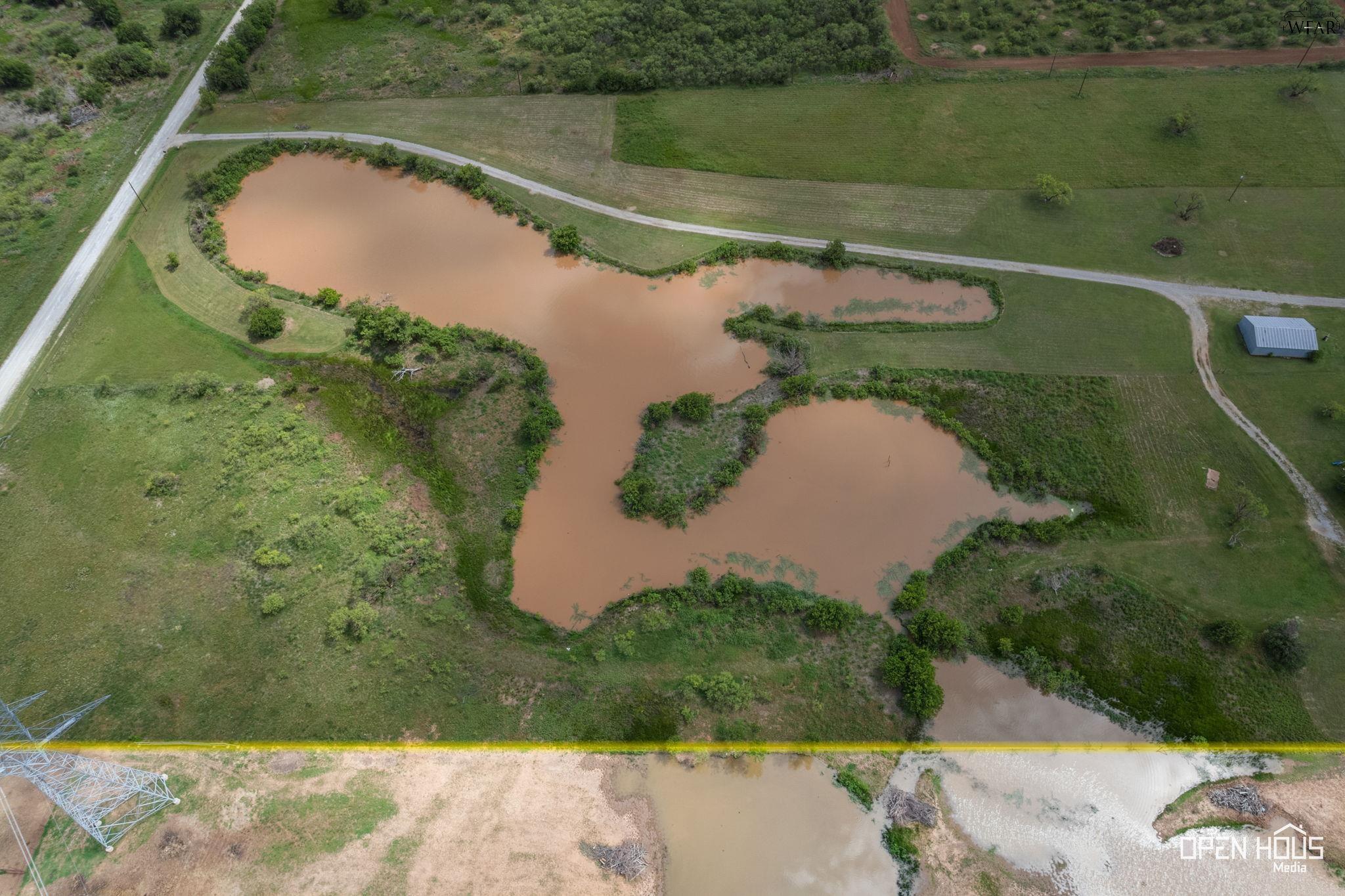
Aerial view of rural acreage with several ponds, green fields, and a curving gravel drive.
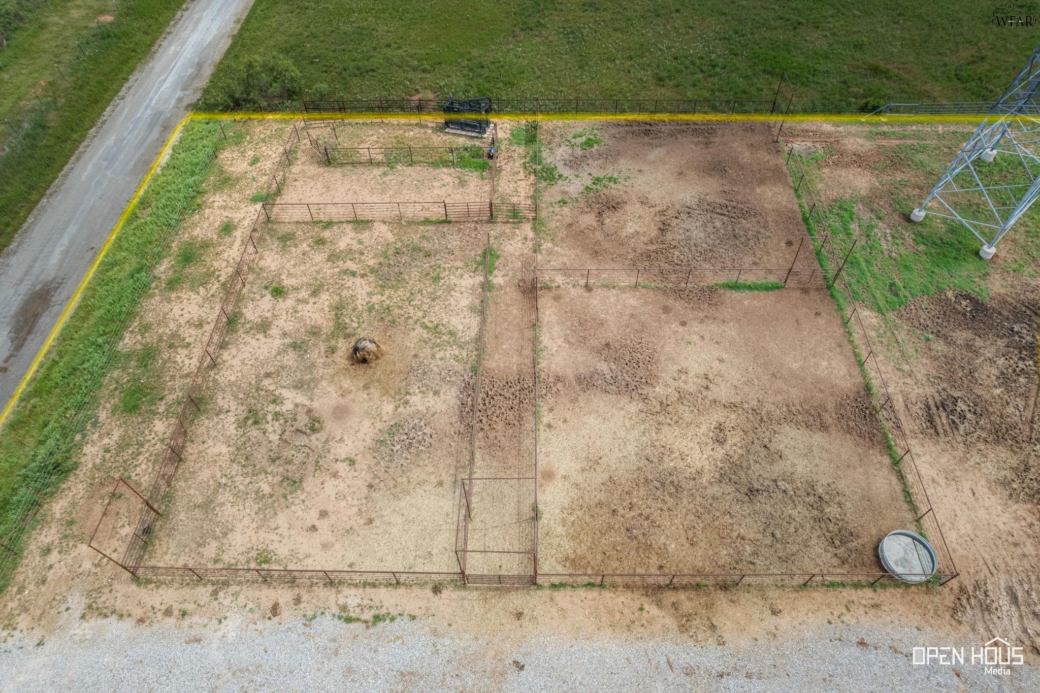
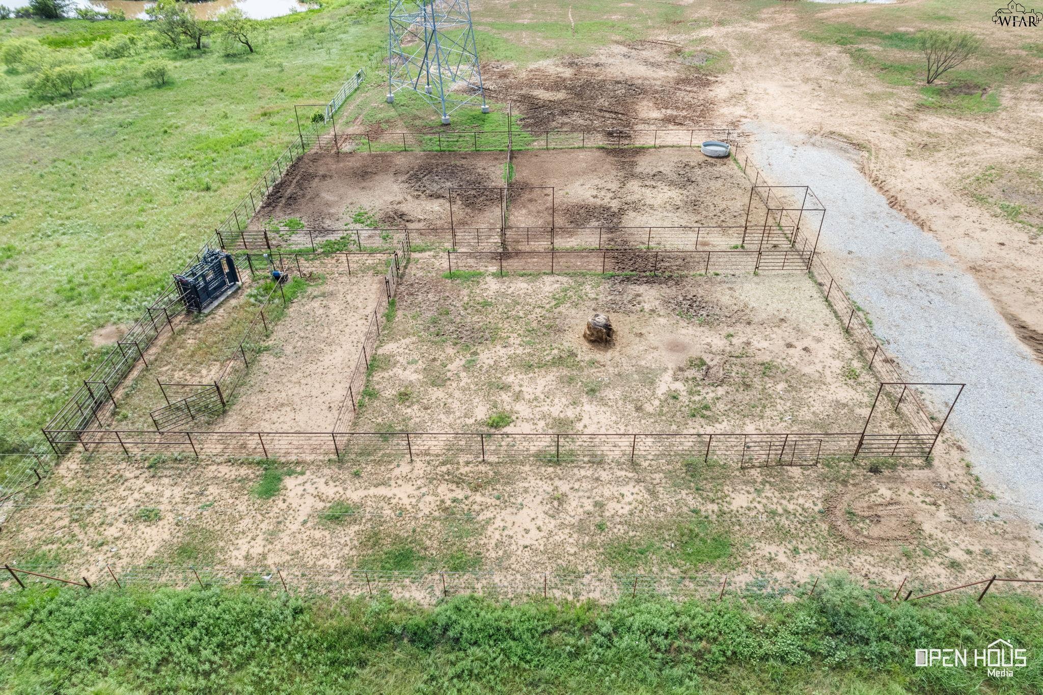
Aerial view of fenced dirt animal pens beside a gravel road and metal utility tower.
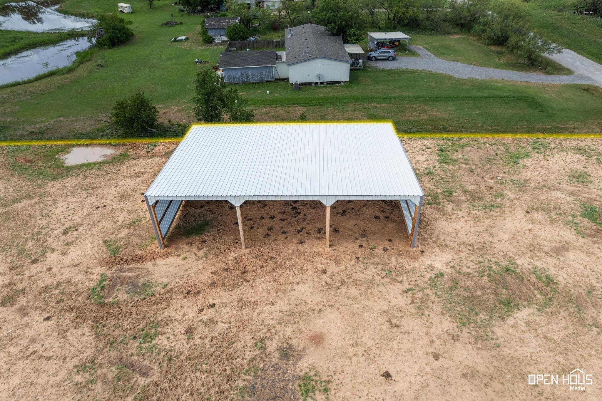
Aerial view of a rural property, with a large metal-roof shelter, house, and pond.
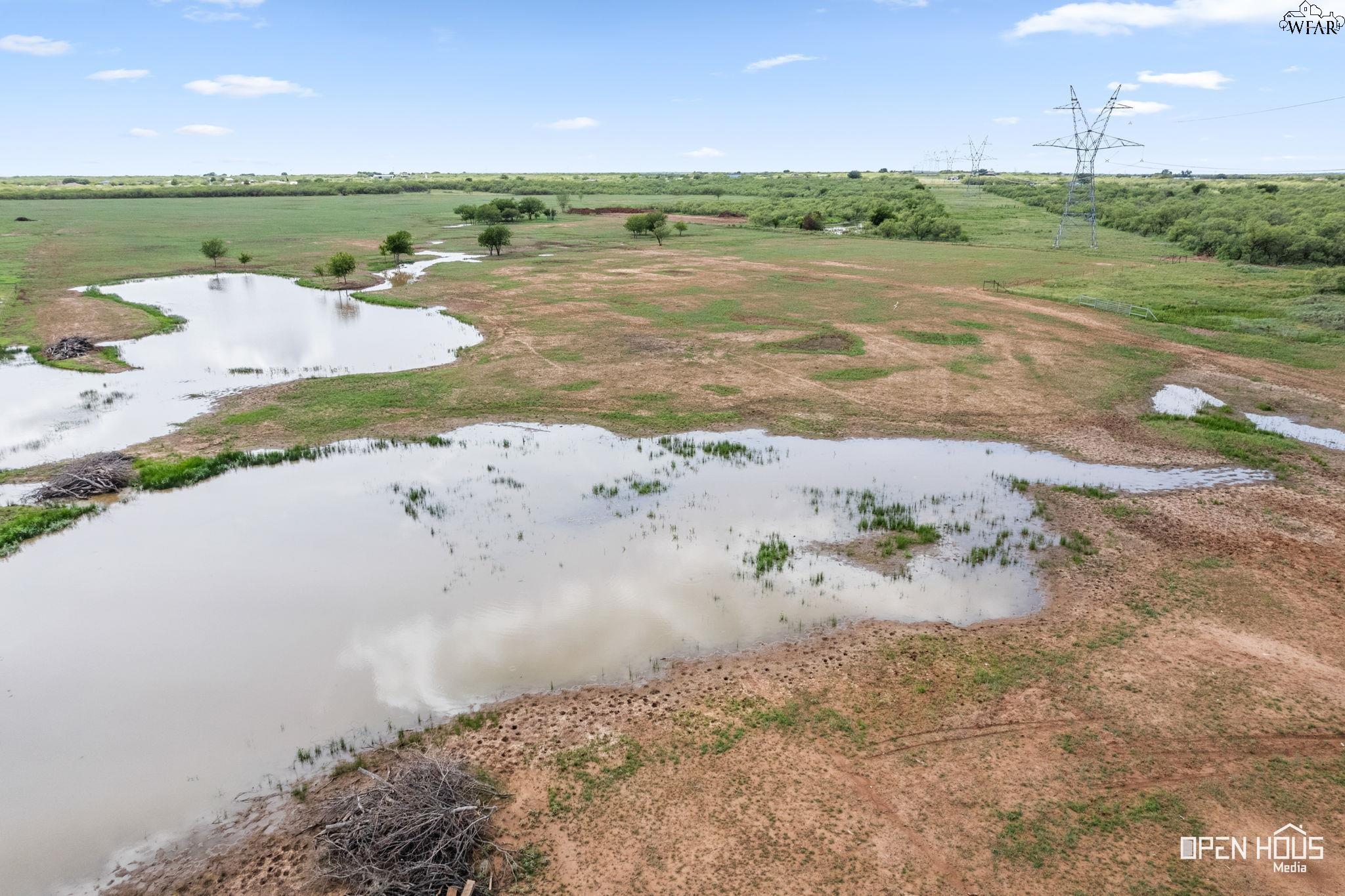
Aerial view of rural land with several ponds and transmission towers.
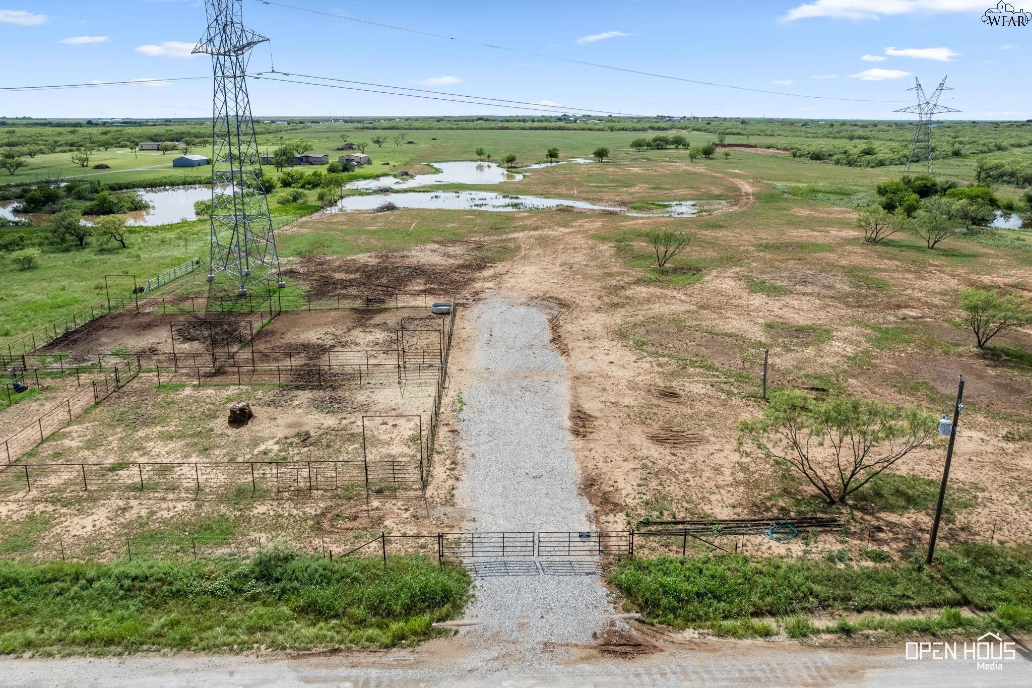
Aerial view of fenced dirt pens and gates beside a gravel drive on a rural property.
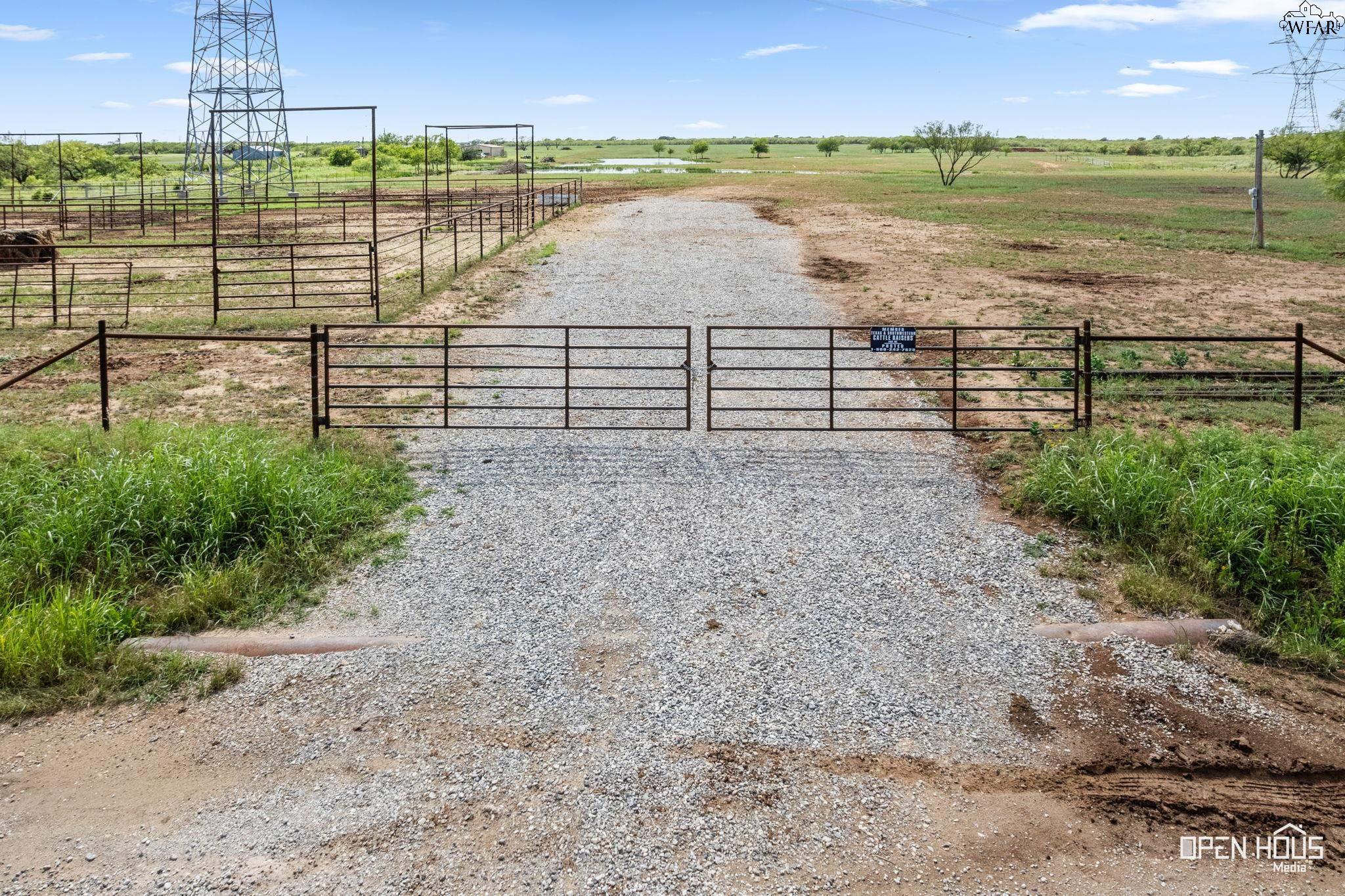
Gravel driveway and metal gates lead into fenced pasture with livestock pens and a pond beyond.
Aerial view of rural acreage with fenced pens, ponds, a gravel drive, and transmission towers.
Aerial view of rural land with multiple ponds, scattered buildings, and power lines.
Aerial view of a rural parcel outlined in yellow, with ponds, a gravel drive, and a metal outbuilding.
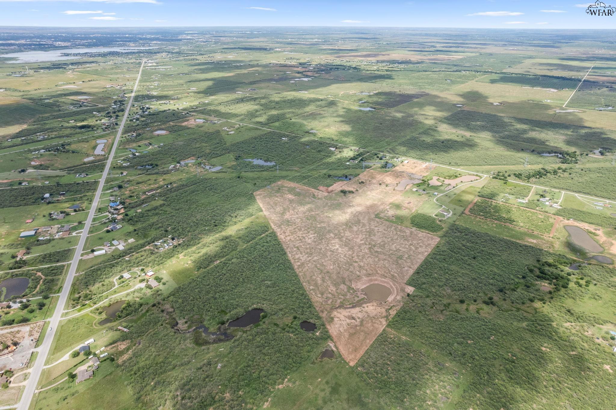
Aerial view of a large rural tract with a cleared parcel, ponds, and surrounding wooded land.
Aerial view of rural land outlined in yellow, with a pond near one end.
SEE ALL PHOTOS
Aerial view of a cleared rural parcel outlined in yellow, with ponds and road frontage.
Aerial view of cleared rural acreage with ponds, wooded borders, and nearby homes.
Aerial view of a large cleared parcel outlined in yellow, with muddy ponds and wooded surroundings.
Aerial view of a large rural tract with cleared ground, ponds, and scattered homes.
Aerial view of a large cleared rural tract with ponds, fields, and wooded areas.
Vacant rural parcel outlined in yellow, with ponds and fields visible from above.
Aerial view of rural acreage with several ponds, scattered buildings, and overhead power lines.
Aerial view of rural land outlined in yellow, with ponds, a gravel drive, and power lines.
Aerial view of cleared rural acreage with several ponds, scattered trees, and buildings along the left side.
Aerial view of yellow-outlined rural land with several ponds and power lines.
Aerial view of a cleared rural tract surrounded by green brushland, scattered homes, and ponds.
Aerial view of a large cleared rural parcel outlined in yellow, with ponds and wooded land nearby.
Aerial view of vacant rural land with scattered ponds, brush, utility lines, and a dirt track.
Aerial view of a vacant parcel outlined in yellow, with muddy ponds and a small metal shed.
Aerial view of rural acreage with several ponds, green fields, and a curving gravel drive.
Aerial view of fenced dirt animal pens beside a gravel road and metal utility tower.
Aerial view of a rural property, with a large metal-roof shelter, house, and pond.
Aerial view of rural land with several ponds and transmission towers.
Aerial view of fenced dirt pens and gates beside a gravel drive on a rural property.
Gravel driveway and metal gates lead into fenced pasture with livestock pens and a pond beyond.
Aerial view of rural acreage with fenced pens, ponds, a gravel drive, and transmission towers.
Aerial view of rural land with multiple ponds, scattered buildings, and power lines.
Aerial view of a rural parcel outlined in yellow, with ponds, a gravel drive, and a metal outbuilding.
Aerial view of a large rural tract with a cleared parcel, ponds, and surrounding wooded land.
Aerial view of rural land outlined in yellow, with a pond near one end.
For Sale

1396 T-BONE ROAD

1396 T-BONE ROAD, Wichita Falls, TX 76310

$513,750

68.5 Acres lot

Denny Bishop

Denny Bishop

Features & Amenities

Area & Lot

  • Status For Sale
  • Lot Area68.5 Acres
  • MLS® ID183677
  • TypeLand
  • School DistrictArcher

Financial

  • Sales Price$513,750
Aerial view of cleared rural acreage with ponds, wooded borders, and nearby homes.

Schedule a Showing

We would love to show you our beautiful property. Please select your preferred date and time below. An agent will be in touch shortly to confirm your appointment.

Schedule a Showing

We would love to show you our beautiful property. Please select your preferred date and time below. An agent will be in touch shortly to confirm your appointment.

Thank you for your interest in 1396 T-BONE ROAD, Wichita Falls, TX 76310. We are reviewing your request and will be in touch shortly!

Mortgage Calculator

Estimate your monthly mortgage payment, including the principal and interest, property taxes, and HOA. Adjust the values to generate a more accurate rate.

All estimates are provided for informational purposes only. Actual amounts may vary.
$0,000 Your Payment 20 15 65
$0,000 Your Payment

Work With Us

Get assistance in determining current property value, crafting a competitive offer, writing and negotiating a contract, and much more. Contact us today.

Follow Us on Instagram